
On September 28, I hiked the first six miles of map M2 in both directions. I parked by Tom Hooks's house and met the man. He was very friendly and had built a bridge over the creek that you cross on his yard to get to the trail. We talked for a little while and he told me they'd had some bear visits and lots of coyotes.
I was going to hike the "East to West" direction back to Bay State Road where I left off hiking the last time. Without a topographic map, I didn't know what I was in for. I set my altimeters to 1470' per the directions and headed off. Or up. Up over 600 feet in the first 3/4 mile. By then I was soaked, and carrying only a waist pack with two water bottles and a Clif bar. At the summit of Jimmerson Hill I rejoiced, and of course, began descending. I came out near Camp Li-Lo-Li (Life, Love, Light) and headed around Sunfish Run Road, now on the Indian Nation. So far this part of the trail had involved climbing over a mountain (all right, a little one) and road walking, which was not too inspiring.
Then it was over the railroad tracks, and down onto old route 17. It was kind of neat to walk on the very narrow, potholed, concrete of the ancestor of today's I-86, the Southern Tier Expressway. There was re-bar sticking through. And before I knew it, I saw the bridge that used to take the superhighway over the Allegany River. Which now took me over the river. The river was quite swollen from Isadore passing through the day before. Two 4WD trucks bounced across the bridge as I was taking these snapshots, so I figured it was safe for me. There was even a sidewalk on one side, but there were chunks missing out of the sidewalk near the edge of the bridge.
Then it was another mile or more on the old road, and on the old entrance road to the state park, before crossing the cloverleaf and arriving at Bay State Road, where I straightened my socks, ate my Clif bar and saw two cars parked, hikers heading "west" (really, south) from there.
The way back was little different, except when I was on the old state park entrance road, I saw 3 dirt bikes cross the road ahead of me, riding along a power line. When I got to the railroad, I heard a siren, which must have been down on old route 17, although I couldn't see it. The motorcycle engines stopped and I couldn't see or hear what was going on. Then the motorcycles started up again. I heard them for quite a while.
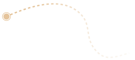
Hiking back over the mountain, I remembered the confusion I had coming the other direction. There are lots of logging paths cut over the mountain, and you have to pay close attention to the blazes to stay on the trail. As you can see from the GPS track, I didn't pay attention a couple of places. By the time I got back to the car, about 1600, my feet were pretty sore, with a couple of blisters, and I decided to call it a day. Climbing up the mountain on the other side of Sawmill Run Road would wait for another day, when I would be armed with a topographic map to aid my planning.
This section of the trail was not very pleasant, other than the historic nature of hiking on route 17 and the old bridge over the river. Most of the way I could hear either motorcycles, highway traffic, or gunshots. It was not big game season, but when it is, this part of the trail is closed. I don't know what season it was on the Indian Nation, but that's where I heard the shooting.